Fields
2012-2013
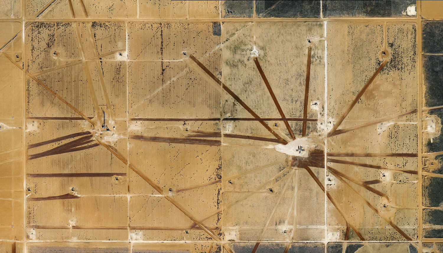
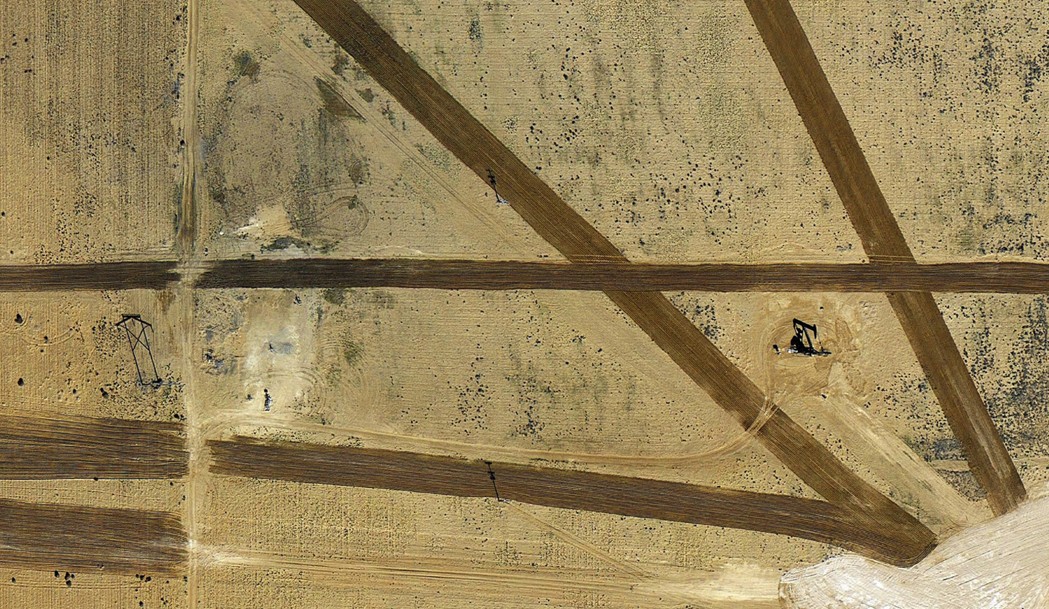
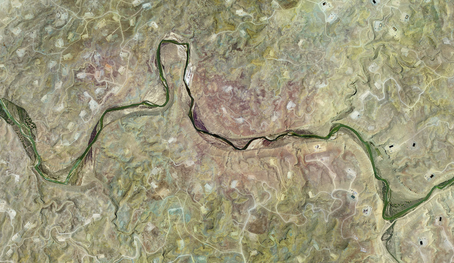
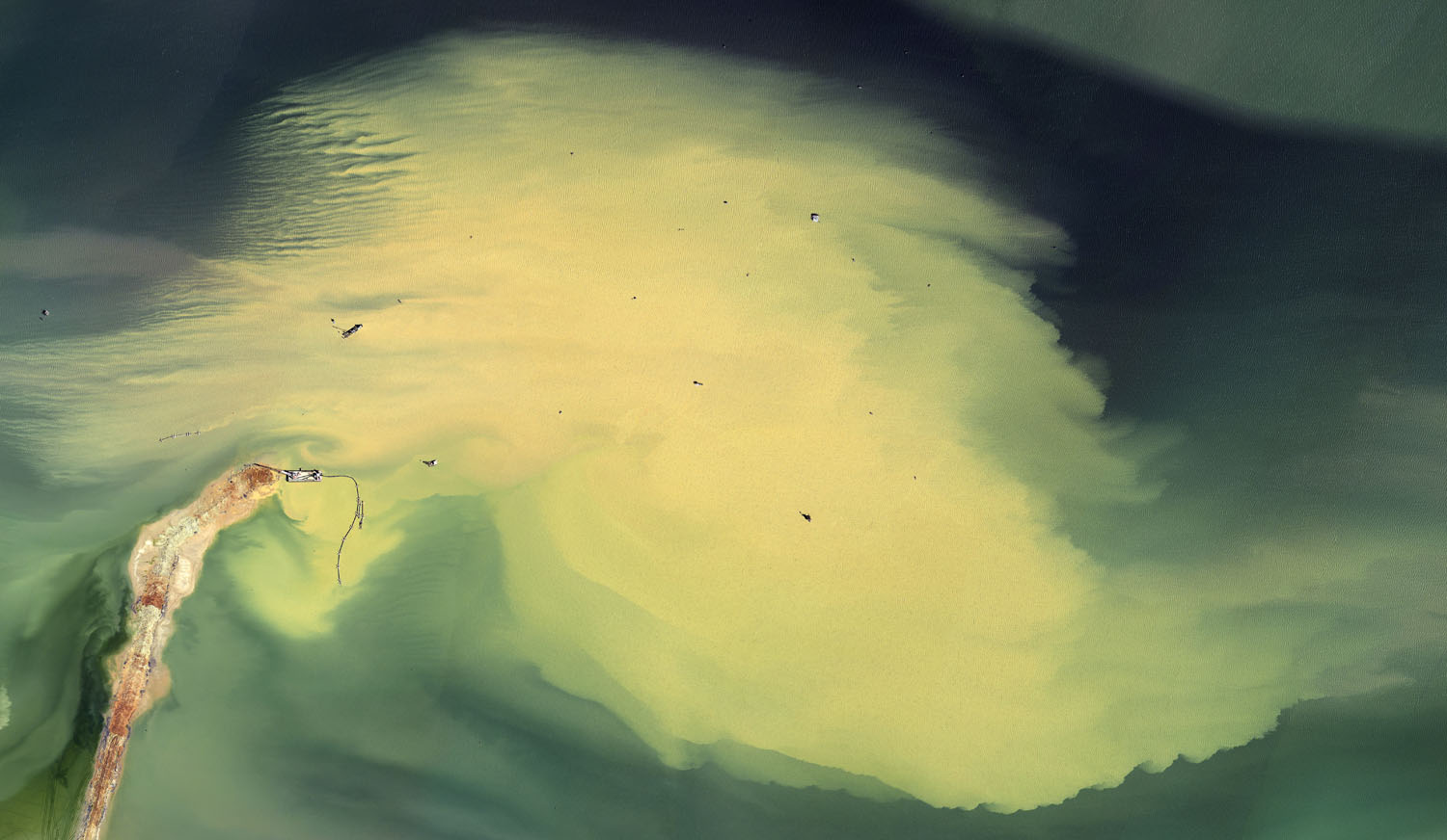
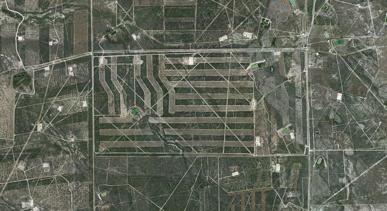
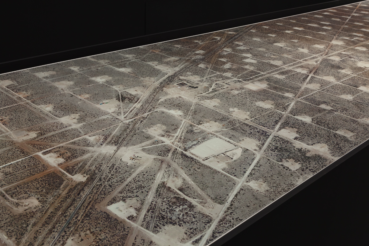
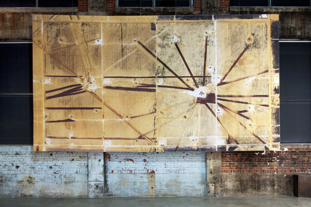
US oil fields photographed by satellites orbiting Earth. Each print is composed of hundreds of high-resolution satellite images of each location stitched together.
The Nazca had their lines and the Americans have their oil fields. The former drew animal figures on the ground and the latter carved an industrial logic into the earth.
These oil fields reflect a circuitry pumping through the heart of American culture. The tentacles of the oil and gas industry span the vast territory of the American landscape like the veins and arteries of a body. The oil flows like blood. This is a system for living and dying and it’s difficult to imagine the country and the values it exports without it.
The landscape of America is a patchwork of industry, agriculture, and desert. Between the deserts is a vast man-made circuit board of infinite detail and complexity. Only in the silence and vacuum of space - seven hundred miles above all the noise - does the network of America truly reveal itself.
A constellation of ex-military and civilian imaging satellites that captures every square inch of our world’s surface is now accessible to anyone with an Internet connection. This constellation allows us to see the vast network in its material form.
Is there a deeper truth to be gleaned from the millions of interconnected pump-jacks spread across the US? Are there parallels between the mobile devices that connect us and the transmission lines of industry? Do we, like them, exist as nodes in someone else’s network?
I needed a year to learn to read these landscapes and to understand the difference between the shadow of a pipeline and that of a telegraph pole; To recognize a transmission line from a dirt track or an operational pump-jack from a disused one. It wasn’t a purely visual landscape but one of data stacked in layers as thick and as deep as the rock being mined.
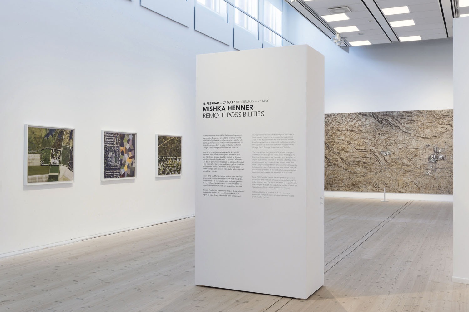
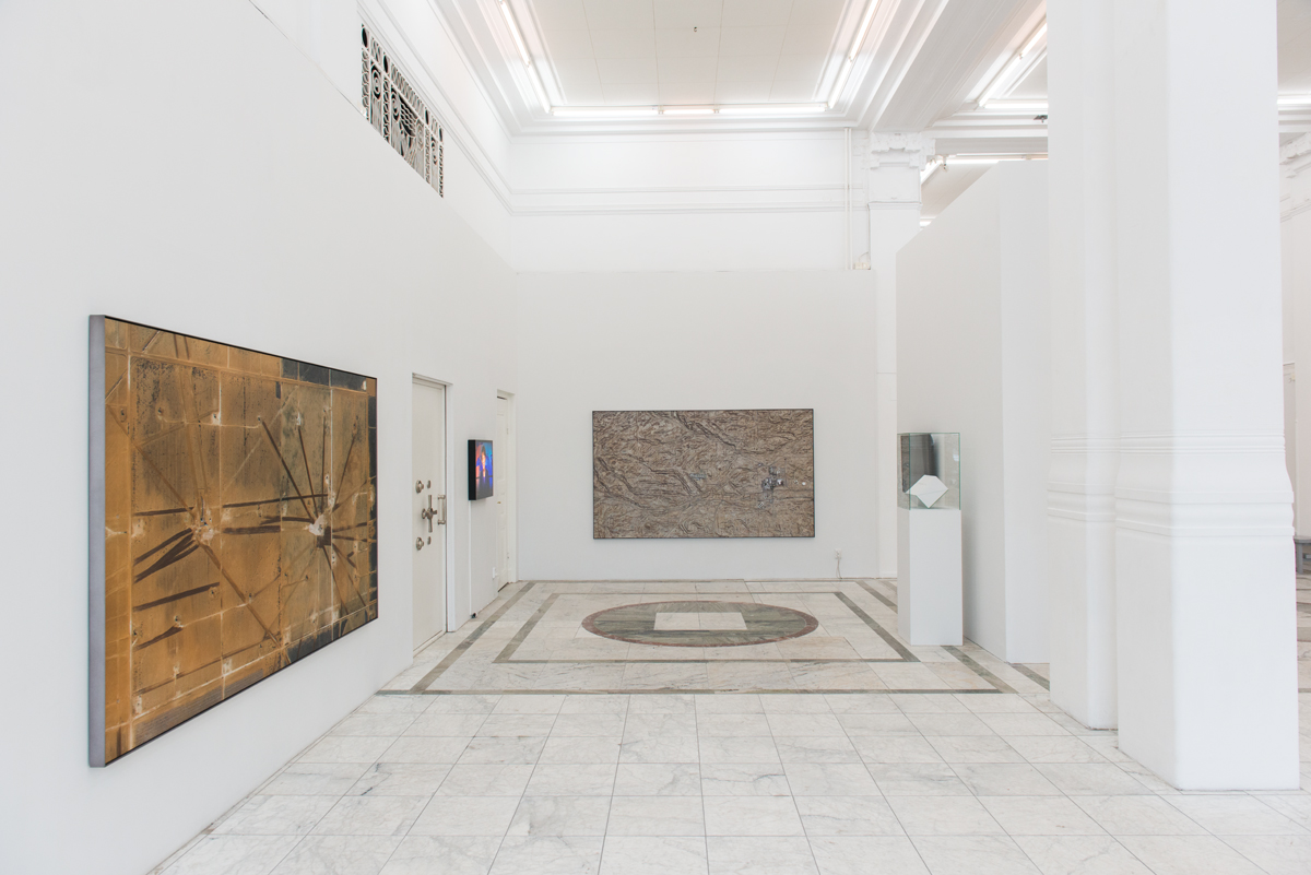
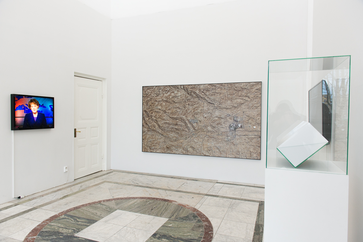
Various dimensions and materials, site specific installations.








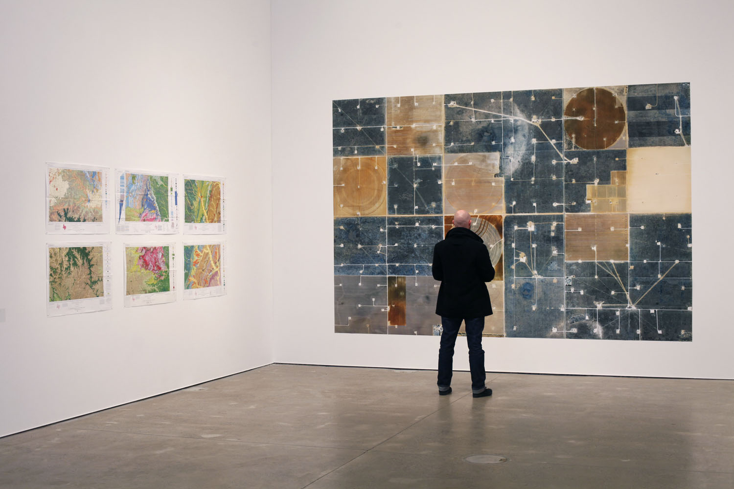

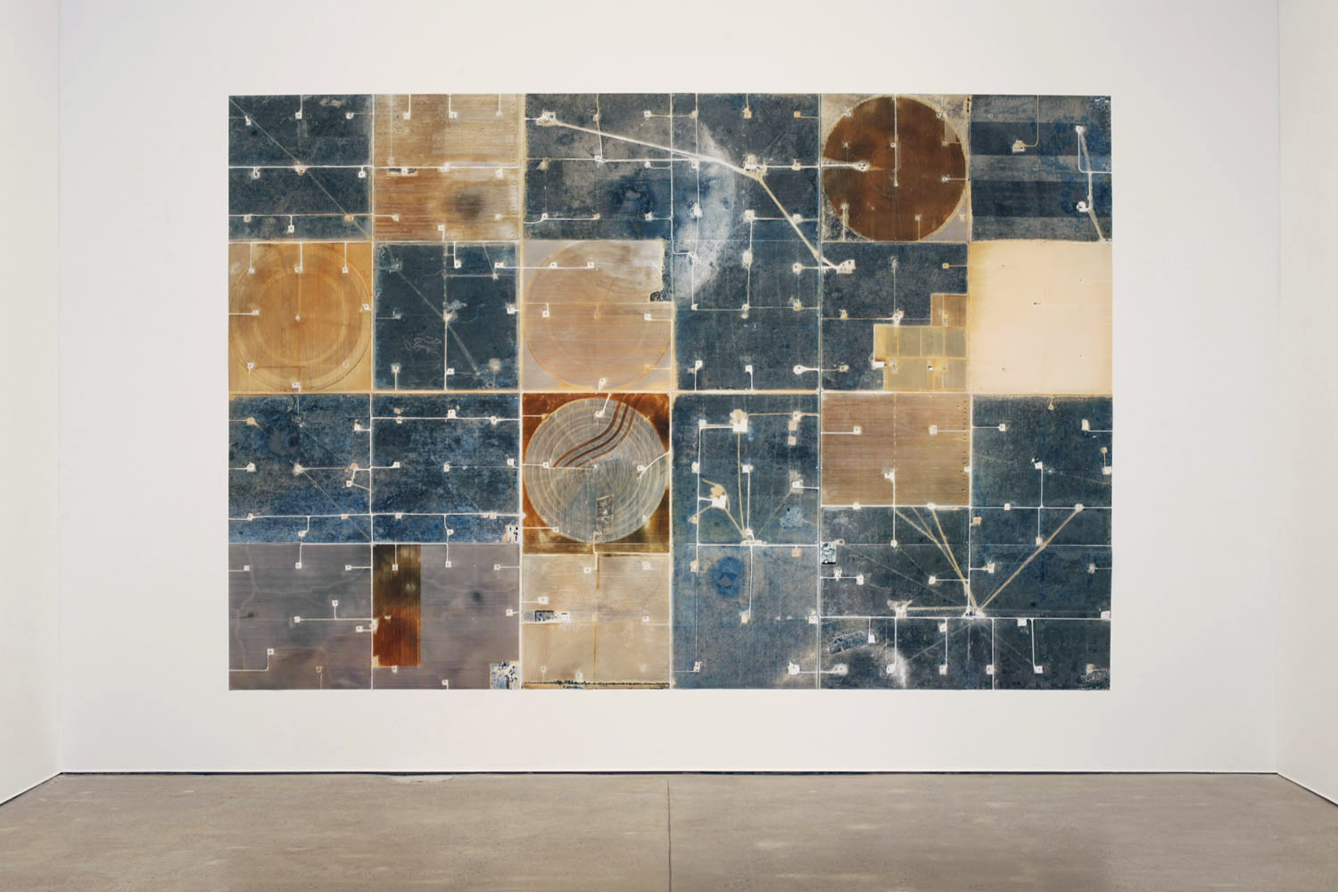
Field (North Ward Estes), Ward County, Texas
2013
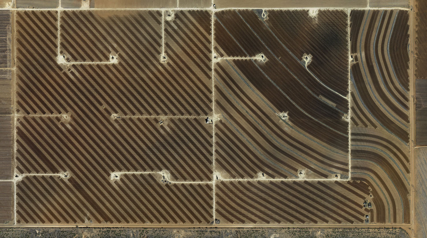
“We now see the world through the filter of Google Street View, Google Maps or Google Earth: these programmes, launched by the web giant around 10 years ago, enable us to fly over our planet. Field by Mishka Henner consists of an assemblage of very high definition satellite photographs, which are freely available on the Internet. The image stretches over 13 metres in length and appears at first glance to be an abstract, geometric painting; yet on looking more closely, you realise that these are oilfields. They are located at the centre of the United States, a region that has fed Americans’ ever-growing energy needs for around a century. The territory extends over 96 km2 and consists of 935 producing wells and 440 injecting wells, although they are no longer all active. To extract the oil, 9,200 million litres of carbon dioxide are injected into the ground each day. In his view, this territory represents both a cultural and an industrial landscape.” From Field, Musee des beaux arts, Le Locle.


List of Works
Levelland Oil Field #1, Hockley County, Texas (2012)
59x102 inches (150x258cm) / 59x34 inches (150x85cm) / 102x177 inches (258x450cm)
Levelland Oil Field #2, Hockley County, Texas (2012)
59x102 inches (150x258cm) / 59x34 inches (150x85cm) / 102x177 inches (258x450cm)
San Andres Oil Field, Hockley County, Texas (2012)
59x102 inches (150x258cm) / 59x34 inches (150x85cm) / 102x177 inches (258x450cm)
Natural Butte Oil Field, Uintah County, Utah (2012)
59x102 inches (150x258cm) / 59x34 inches (150x85cm) / 102x177 inches (258x450cm)
Cedar Point Oil Field, Harris County, Texas (2012)
59x102 inches (150x258cm) / 59x34 inches (150x85cm) / 102x177 inches (258x450cm)
Kern River Oil Field, Kern County, California (2012)
59x102 inches (150x258cm) / 59x34 inches (150x85cm) / 102x177 inches (258x450cm)
Vaquillas Ranch, Webb-County, Texas (2012)
59x102 inches (150x258cm) / 59x34 inches (150x85cm) / 102x177 inches (258x450cm)
Wasson Oil and Gas Field, Yoakum-County, Texas (2012)
59x102 inches (150x258cm) / 59x34 inches (150x85cm) / 102x177 inches (258x450cm)
Field (North Ward Estes, Ward County, Texas (2013) 59x512 inches (150x1300cm)
Levelland Oil Field, Hockley County, Texas (2012) 106x157 inches (270x400cm)
Installations




Mentions
Edges of the Experiment (2015) Marie-Jose Jongerius, Fw: Books
Landmark: The Fields of Landscape Photography (2014) William Ewing, Thames & Hudson
Civilization: The Way We Live Now (2018) William Ewing & Holly Roussell, Thames & Hudson
Drone: The Automated Image (2013) Paul Wombell, Kerber