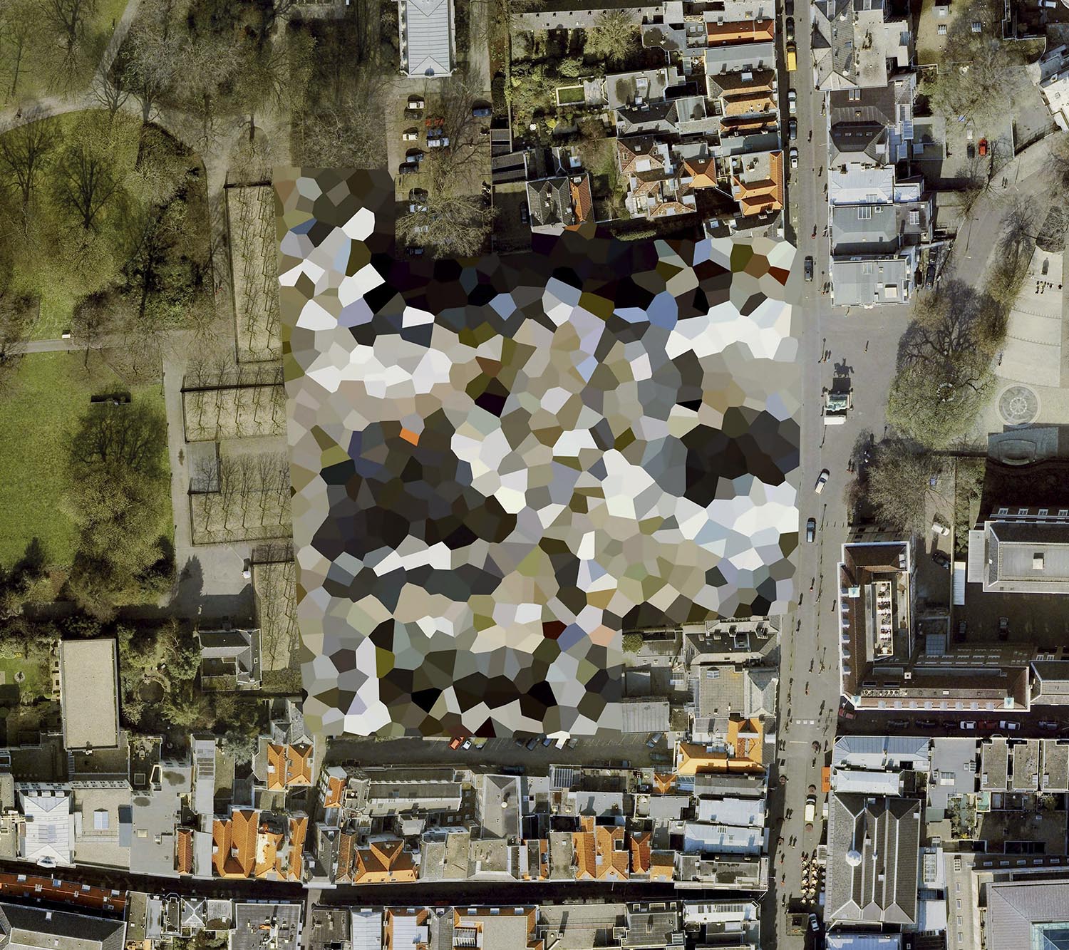
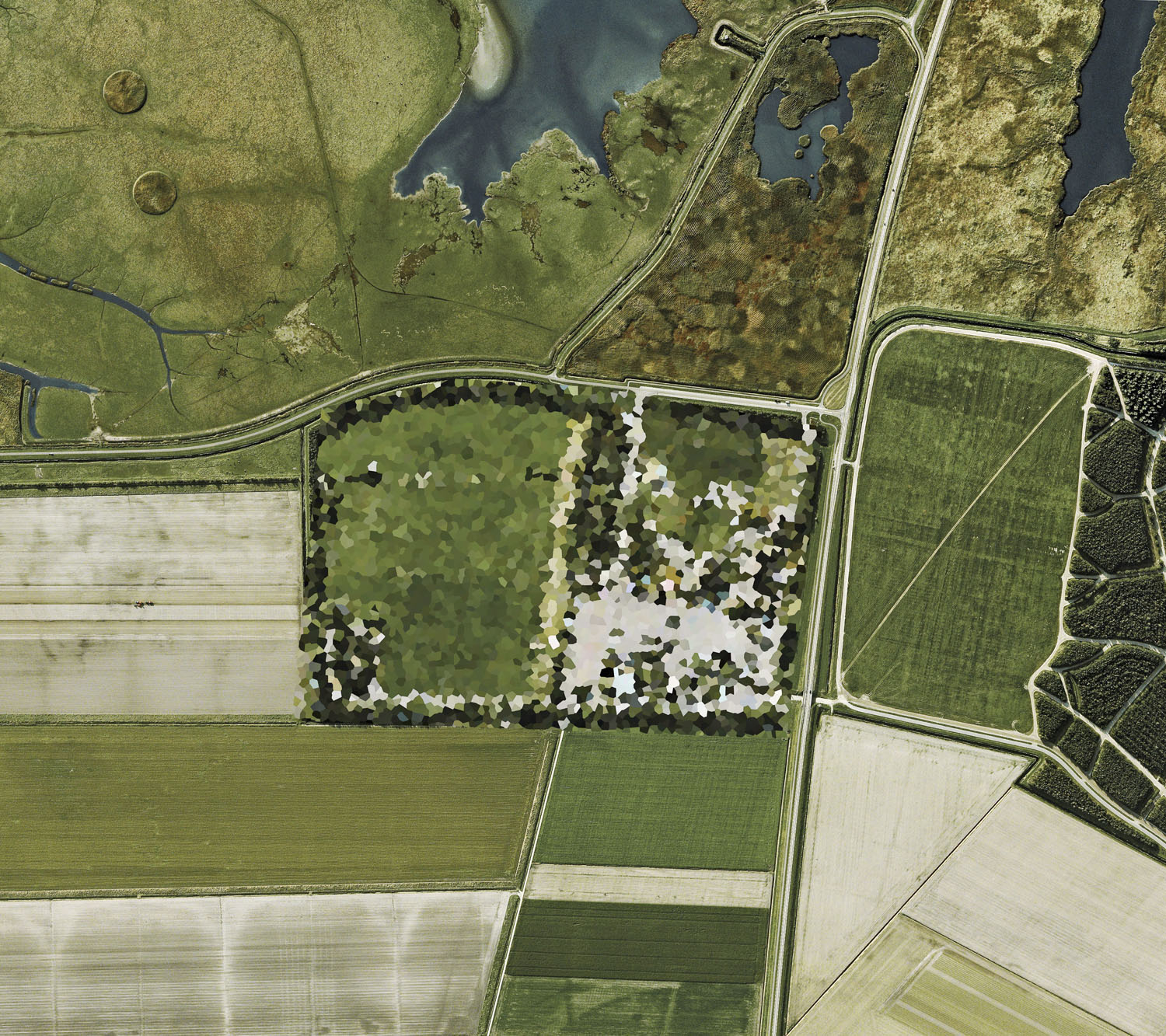
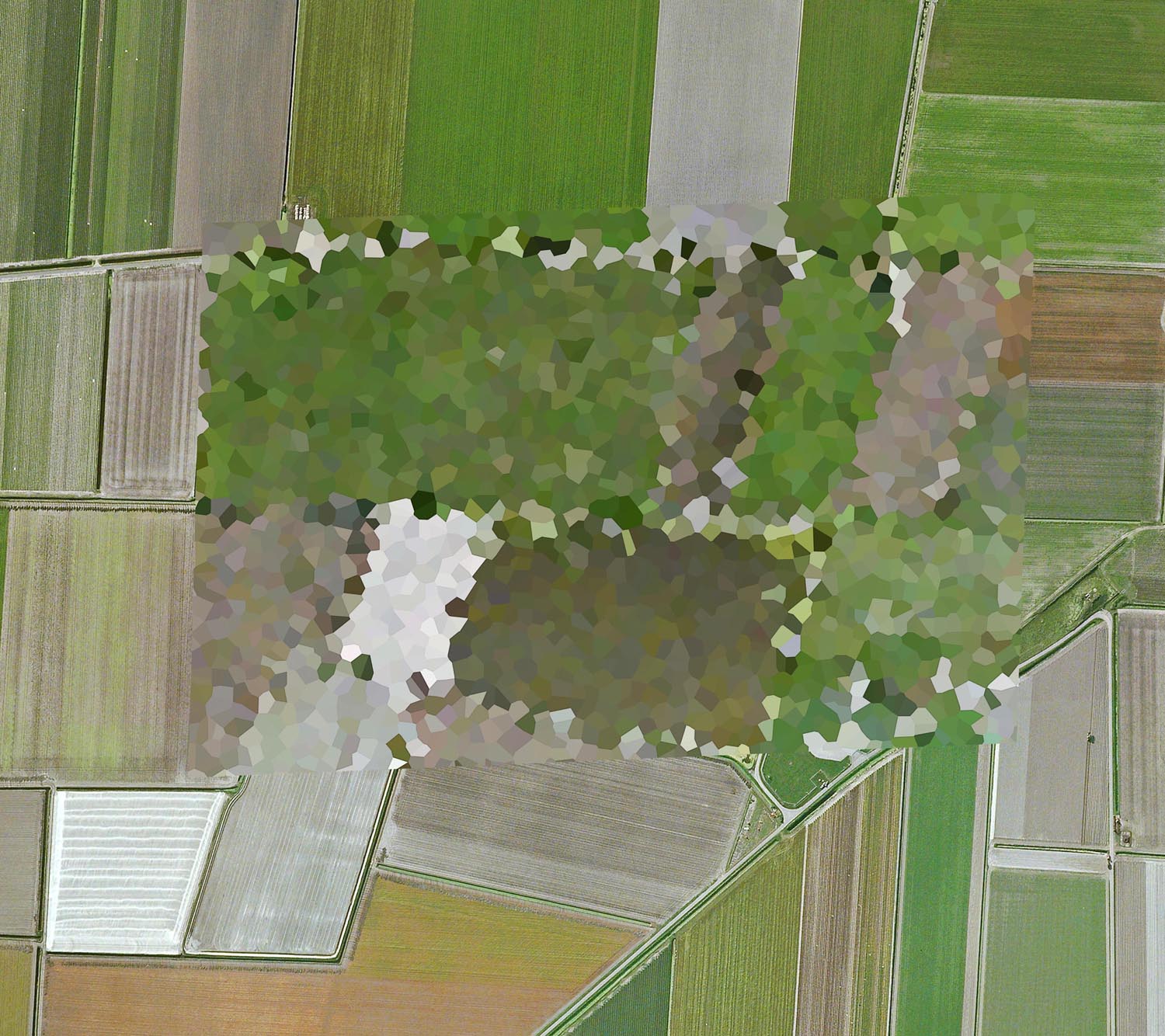
Unknown site, Noordwijk aan Zee
Dutch Landscapes
2011
When Google introduced its free satellite imagery service to the world in 2005, views of our planet only previously accessible to astronauts and surveyors were suddenly available to anyone with an internet connection. Yet the vistas revealed by this technology were not universally embraced.
Governments concerned about the sudden visibility of political, economic and military locations exerted considerable influence on suppliers of this imagery to censor sites deemed vital to national security. This form of censorship continues today and techniques vary from country to country with preferred methods generally including use of cloning, blurring, pixelization, and whitening out sites of interest.
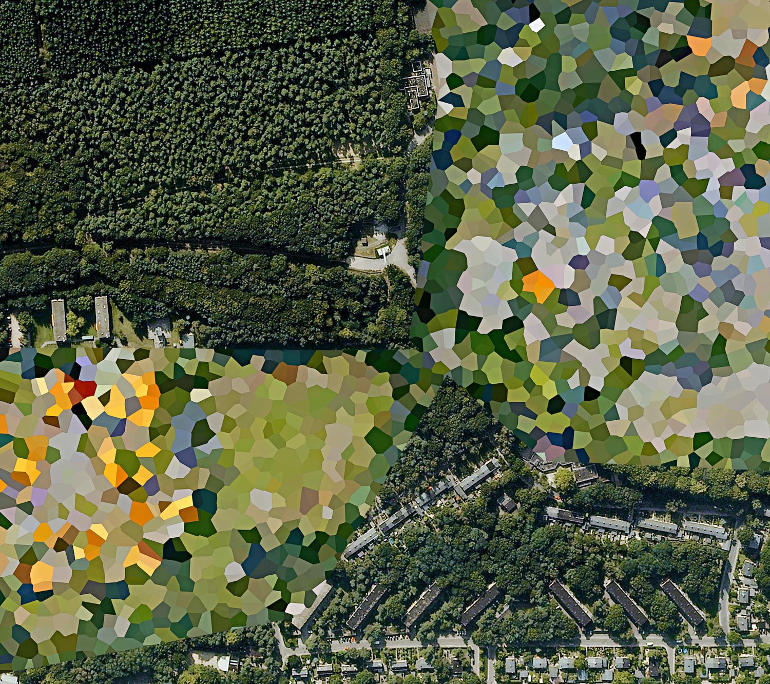
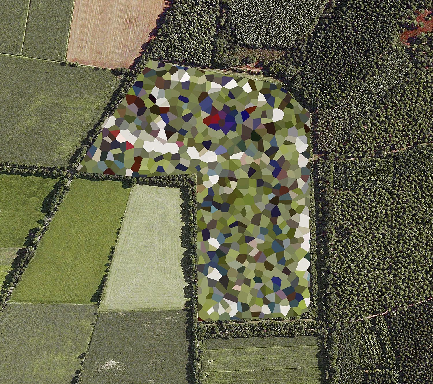
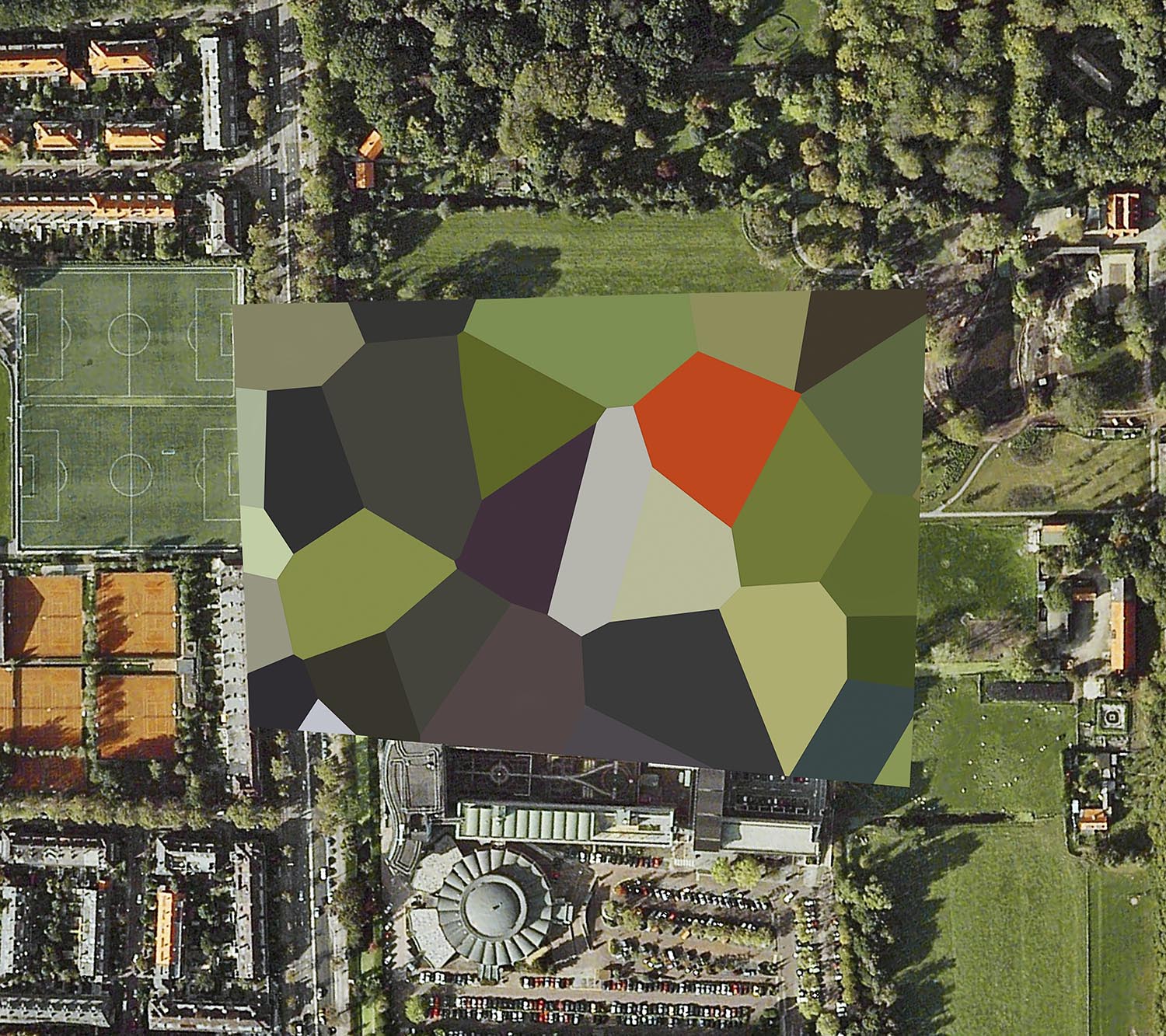
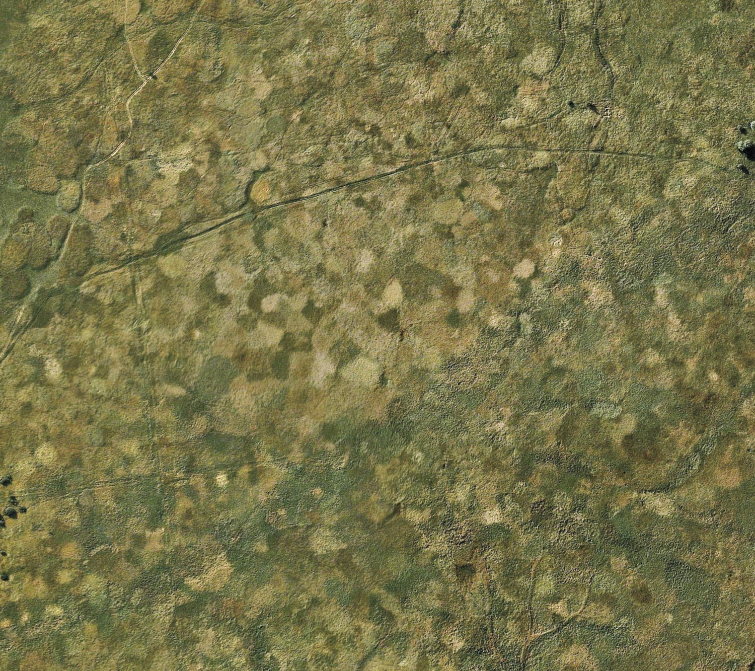
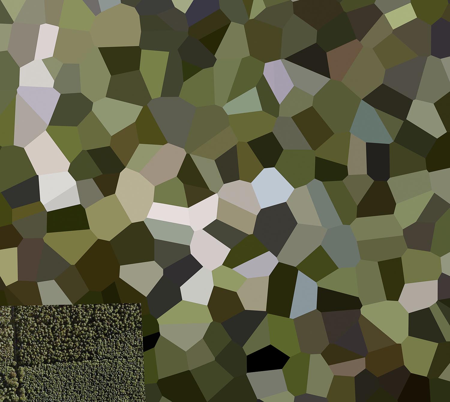
Surprisingly, one of the most vociferous of all governments to enforce this form of censorship were the Dutch, hiding hundreds of significant sites including royal palaces, fuel depots and army barracks throughout their relatively small country. The Dutch method of censorship is notable for its stylistic intervention compared to other countries; imposing bold, multi-coloured polygons over sites rather than the subtler and more standard techniques employed in other countries.
The result is a landscape occasionally punctuated by sharp aesthetic contrasts between secret sites and the rural and urban environments surrounding them.
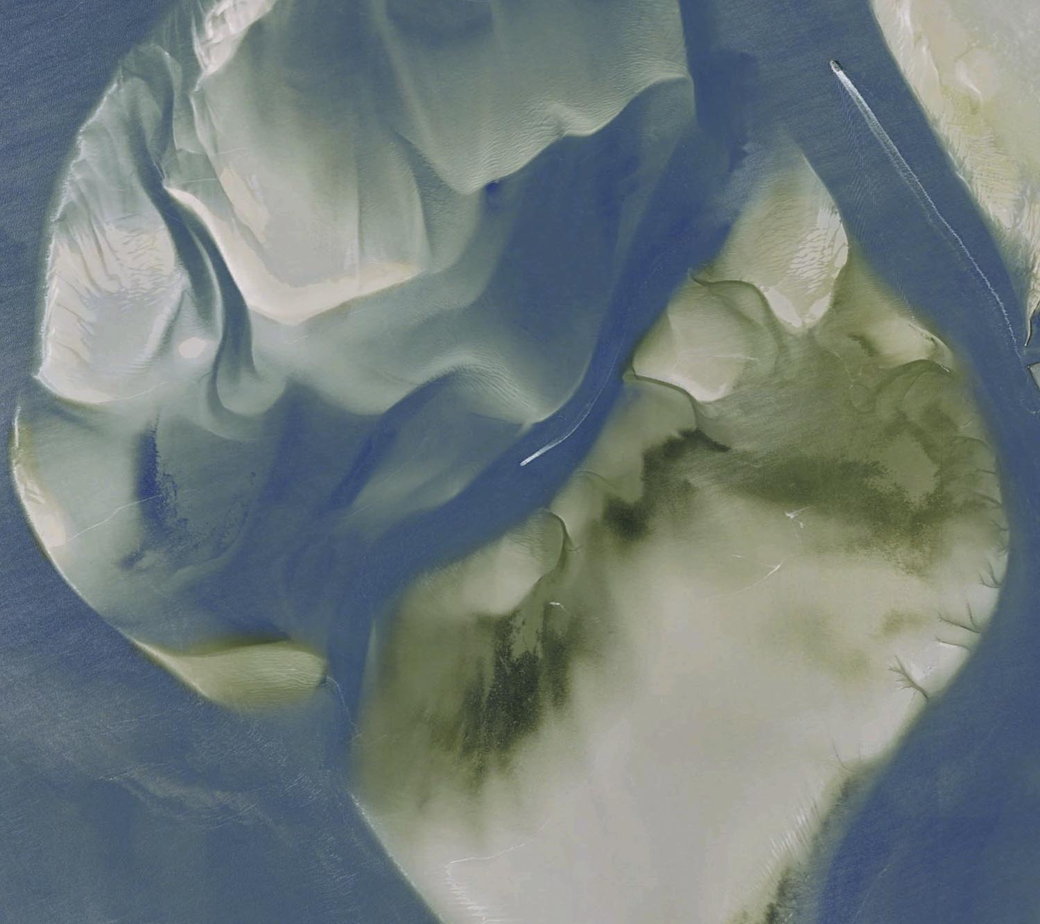
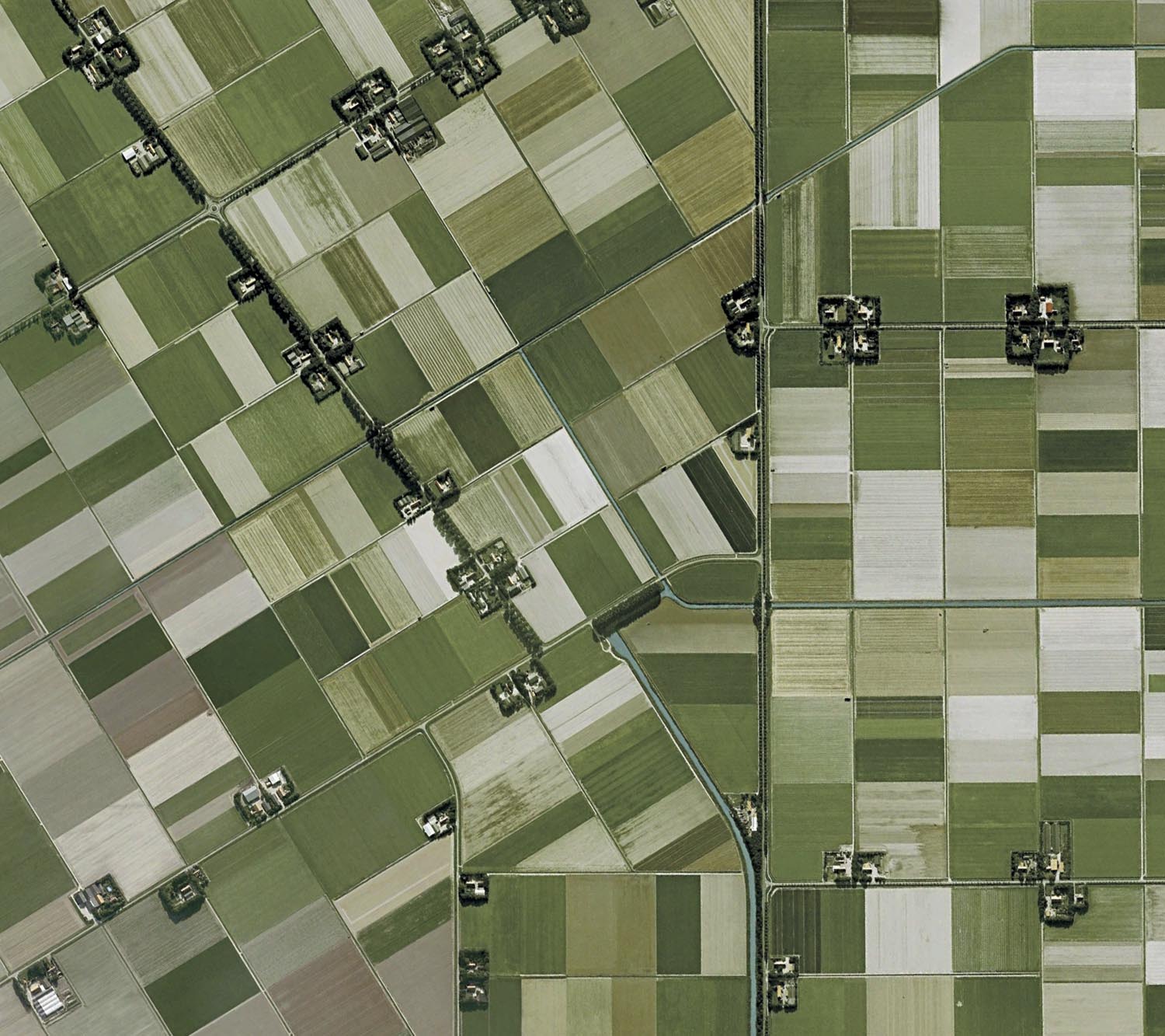
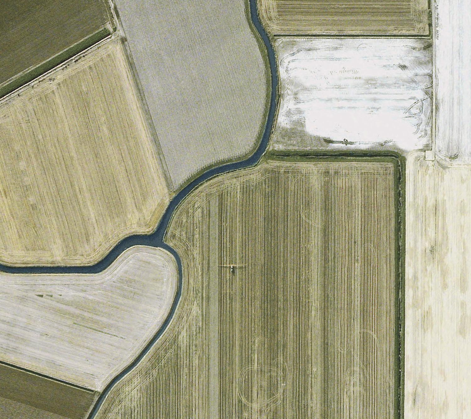
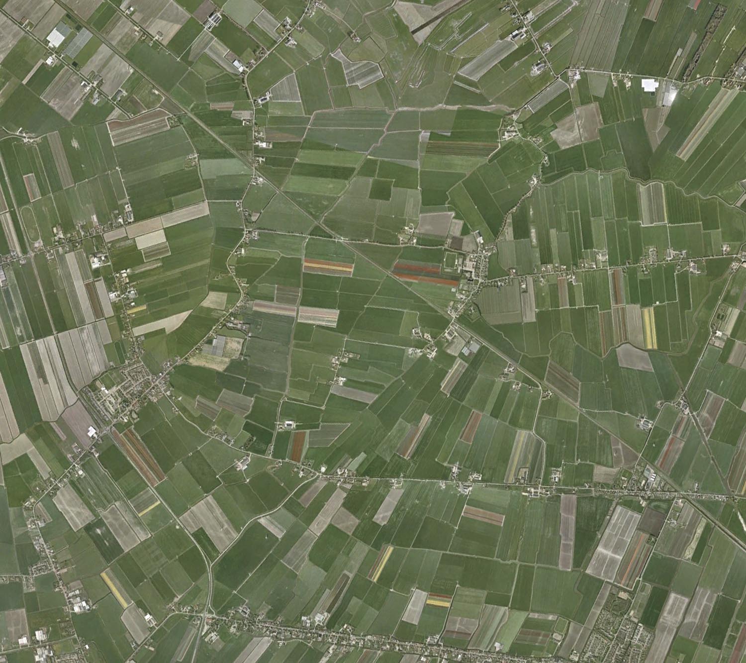
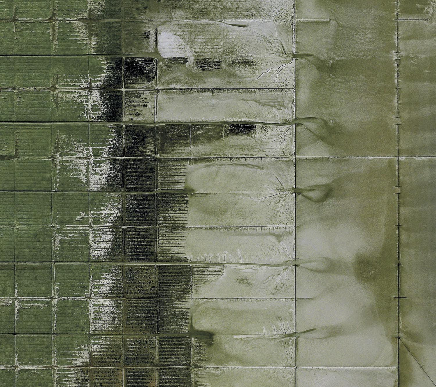
In the original book of this series, these interventions are presented alongside physical alterations made to the Dutch landscape through a vast land reclamation project that began in the 16th Century and is ongoing. A third of the Netherlands lies below sea level and the dunes, dykes, pumps, and drainage networks engineered over hundreds of years have dramatically shaped the country’s landscape, providing it with huge swathes of arable land that would otherwise be submerged.
Seen from the distant gaze of Earth’s orbiting satellites, the result is a landscape unlike any other; one in which polygons recently imposed on the landscape to protect the country from an imagined human menace bear more than a passing resemblance to a physical landscape designed to combat a very real and constant natural threat.
List of works, medium and dimensions
Softcover print-on-demand book. 10×8 inches (25×20 cm), 106 pages.
Artillery Schiet Kamp, 't Harde, Gelderland (2011)
Archival pigment print, 80x90cm / 150x168cm
De Peel Patriot Missle Site, Limburg,Gelderland (2011)
Archival pigment print, 80x90cm / 150x168cm
Frederikkazerne, The Hague, South Holland (2011)
Archival pigment print, 80x90cm / 150x168cm
Mauritskazerne, Ede, Gelderland (2011)
Archival pigment print, 80x90cm / 150x168cm
NATO Storage Annex, Coevorden, Drenthe (2011)
Archival pigment print, 80x90cm / 150x168cm
Navigatiestation, Den Helder, North Holland (2011)
Archival pigment print, 80x90cm / 150x168cm
Noordeinde Palace, The Hague, South Holland (2011)
Archival pigment print, 80x90cm / 150x168cm
Prins Maurits Army Barracks, Ede, Gelderland (2011)
Archival pigment print, 80x90cm / 150x168cm
St Haagsche Schoolvereeniging, The Hague, South Holland (2011)
Archival pigment print, 80x90cm / 150x168cm
Staphorst Ammunition Depot, Overijssel (2011)
Archival pigment print, 80x90cm / 150x168cm
Unknown Site, Noordwijk aan Zee, South Holland (2011)
Archival pigment print, 80x90cm / 150x168cm
Willem Lodewijk van Nassau Kazerne, Vierhuizen, Groningen (2011)
Archival pigment print, 80x90cm / 150x168cm